
Make access visible. Then verify it.
A bounded field-observation and outreach model focused on hydrant clearance and recurrence.
Request a detailed brief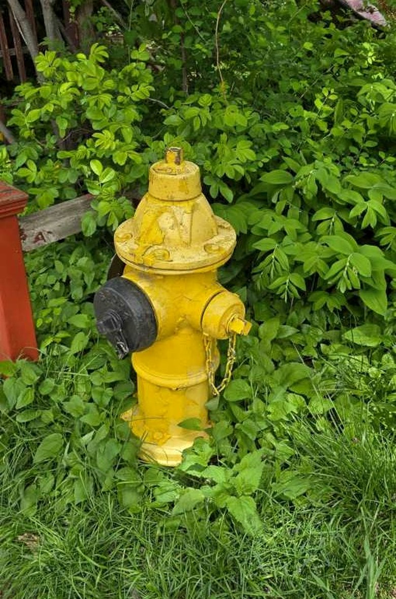 Field-reference photograph / permission is not implied
What needs to be understood?
Some hydrants are visible but not readily accessible. Vegetation, stored objects and other obstructions can recur after they are first noticed. A report alone does not show whether conditions improved.
What is being proposed?
Within a defined area, record a reproducible baseline, classify obstruction types, use only outreach or other actions approved by the responsible authority, then return to verify clearance and recurrence.
What is inside the test?
Ward 9 Davenport as a candidate geography, with Dupont Street among possible corridors. A proposed CAD $12,500 base budget excluding HST is a planning figure—not an award or authorization.
How would we know?
Proportion of inspected hydrants with identified obstructions, type and severity, documented follow-up status, recurrence, and field effort per verification cycle.
What would the result decide?
Would targeted outreach and follow-up create sufficiently reliable, repeatable clearance improvements to justify adaptation, extension, or closure?
The question, made measurable.
Illustrative evaluation structure. Actual implementation, criteria and results require the institution’s review and authority.
Categories are proposed tracking fields, not a statement of completed or authorized intervention.
Any hydrant action or public messaging requires responsible authority review. Northway does not claim enforcement powers or institutional adoption.
Discuss this proposal